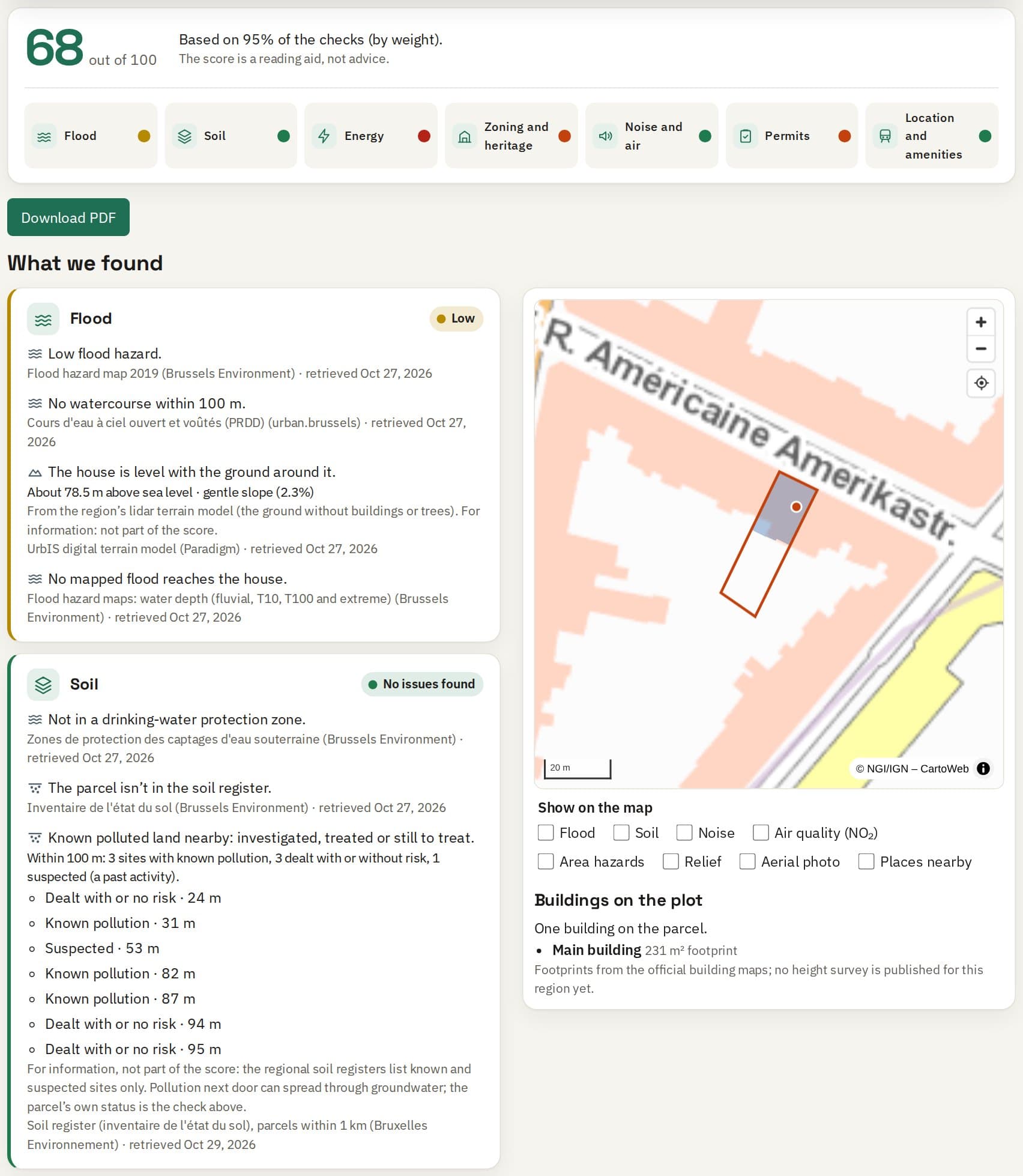
One score, a clear light per topic
Every finding in plain language, with its source and the date we checked it.

Know before you close
Flood, soil, energy, zoning, heritage, noise and air, permits and transport for any address, from the official data of Flanders, Wallonia and Brussels. A clear score in about a minute.
Free check, no account needed.
From the sample report: Horta Museum, Brussels
Aerial photo and maps: UrbIS Ortho, Paradigm · © Bruxelles Environnement / Leefmilieu Brussel
Flood hazard zones, the ground’s relief around the house, and in Wallonia the July 2021 floods and the insurance law’s risk zones.
Plots on record for (possible) soil pollution, and polluted land nearby.
The energy label, or an estimate when there’s none; the renovation obligation and the grants that fit.
The zoning plan, protected or listed heritage, archaeological zones, and expropriation, alignment and pre-emption plans.
Building permits and public inquiries nearby, and roads and railways planned or under construction.
Noise from roads, railways and aircraft, and the air quality at the address.
Seveso sites, old mines and quarries, landslides, radon and high-voltage lines near the address.
Public transport, schools, shops and parks within walking distance, and the internet at the address.
Any address in Flanders, Wallonia or Brussels.
Eight topics, from the regions’ open data, in about a minute. What a region doesn’t publish is marked as unknown.
A score, a clear light per topic, and the questions to ask the seller, the agent and the notary.
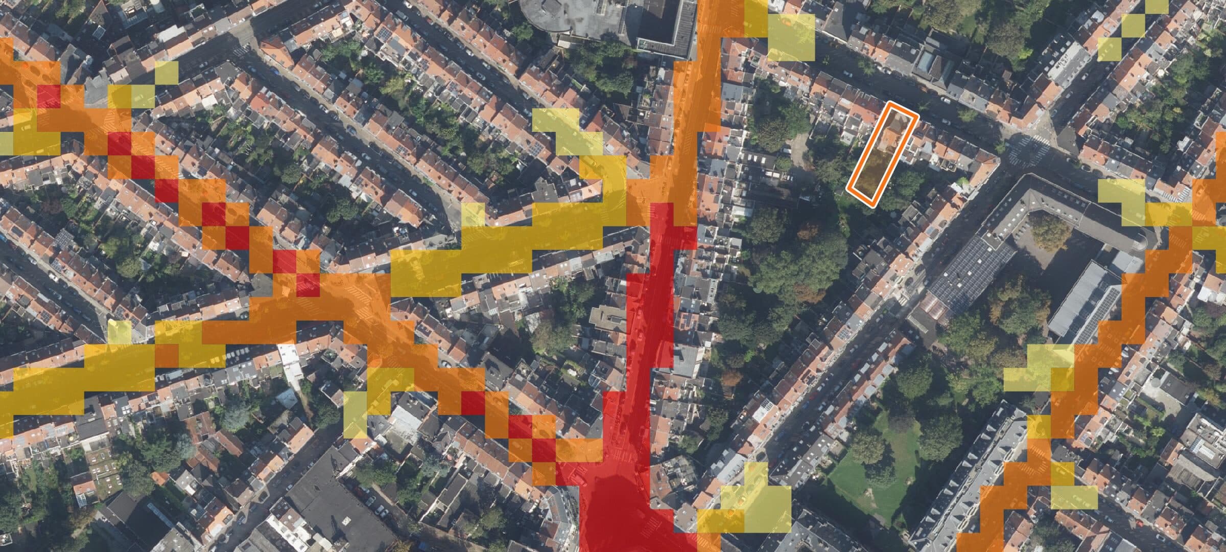
Every report puts the regions’ official maps over the parcel, so you see at a glance what’s around it.
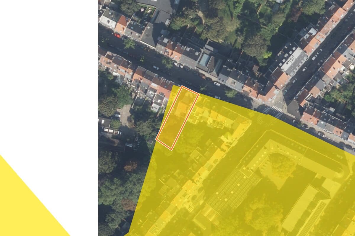
Where flooding is likely, from the region’s official maps. It matters for insurance and for what the seller must tell you.
Average noise over a day, in decibels. Busy streets light up; the report gives the level at the address.
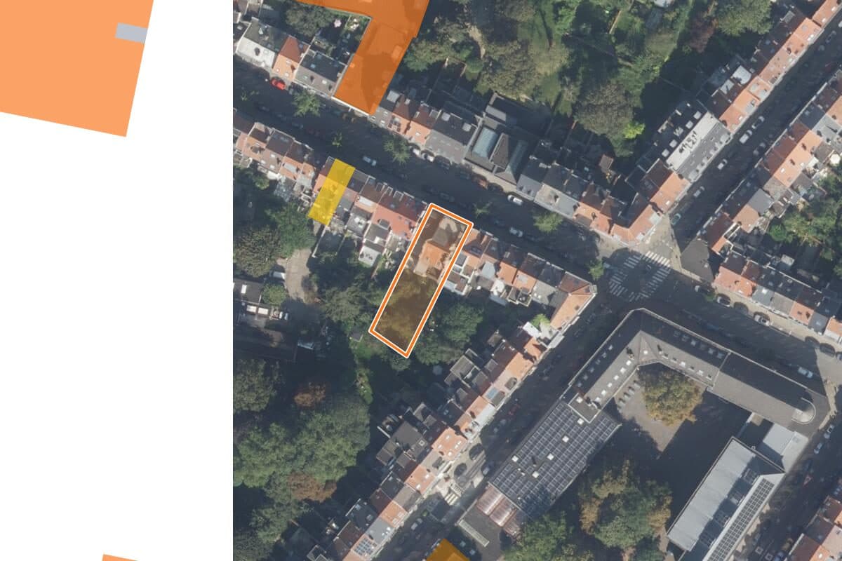
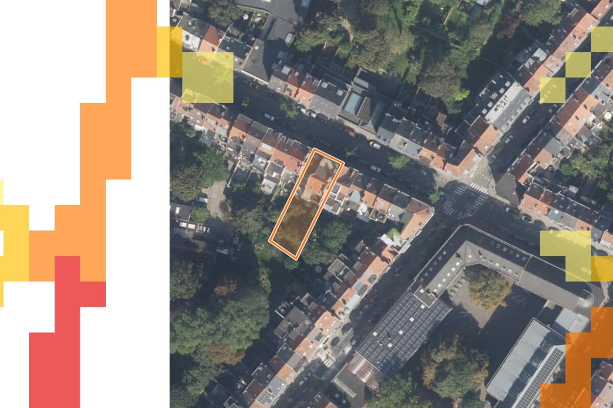
Plots known for (possible) soil pollution. A listed plot can mean extra certificates and costs.
Examples around the Horta Museum in Saint-Gilles. Aerial photo and maps: UrbIS Ortho, Paradigm · © Bruxelles Environnement / Leefmilieu Brussel.
Every finding in plain language, with its source and the date we checked it.
Flood, soil and noise maps over the parcel, straight from the official regional maps.

Sale prices in the area, public transport with its lines and departures, and the schools nearby.

Every full report also shows what the house will really cost to buy and to run, the documents the seller must provide, what to check during the visit and the buildings on the plot; save up to five homes to compare them.
Example: the report for the Horta Museum in Saint-Gilles.
The complete report for the Horta Museum in Brussels, a public building: the score, every finding with its source, the maps and the questions to ask. The report you buy looks like this, for your address.
Download the sample report (PDF, 428 kB)
No account or email needed.
Free
A traffic light for flood, soil and energy, for any Belgian address.
€19.99 incl. VAT
This report, for this address.
€49.00 incl. VAT
10 full reports within 3 months: you choose the addresses. Compare your saved properties too.
Full reports on the addresses you look at during the year, the Professional view, flood costs, rent and yield, and your own client PDF.
The Professional subscriptionStart with the free check: flood, soil and energy for any Belgian address, in about a minute.
Check an address